Drone Surveying Challenges During Geomagnetic Storms
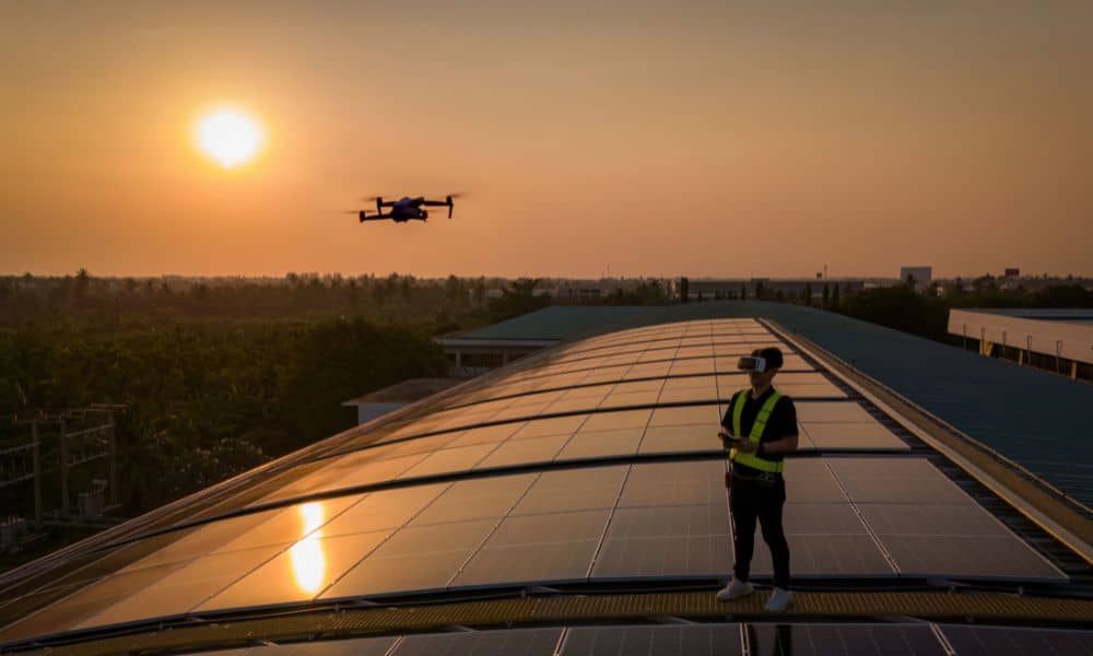
Drone surveying has become one of the most powerful tools for engineers, builders, and developers. Crews rely on drones every day to map subdivisions, check construction sites, and capture accurate ground data in a fraction of the time it used to take. But this week, many teams saw something unusual: their drones were flying fine, […]