Why ALTA Surveys Matter for Major Developments
Earlier this month, people all over southern Colorado were talking about one thing — the plan to build a Buc-ee’s in Palmer Lake. Some people were excited about the famous travel stop coming to town. Others were worried about traffic, noise, and how much the area would change. But for surveyors, builders, and property owners […]
Drone Surveying Challenges During Geomagnetic Storms
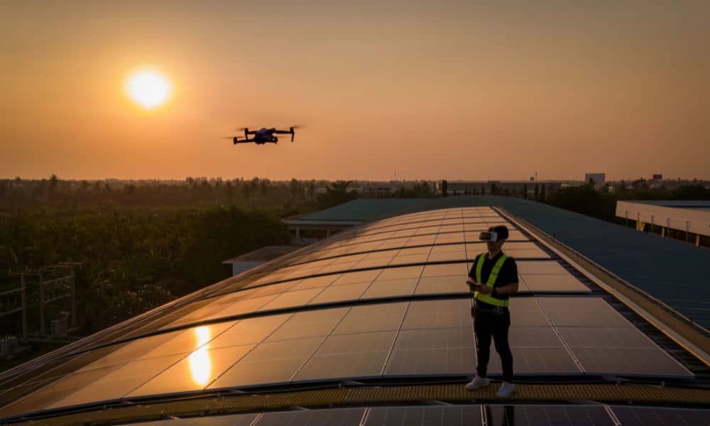
Drone surveying has become one of the most powerful tools for engineers, builders, and developers. Crews rely on drones every day to map subdivisions, check construction sites, and capture accurate ground data in a fraction of the time it used to take. But this week, many teams saw something unusual: their drones were flying fine, […]
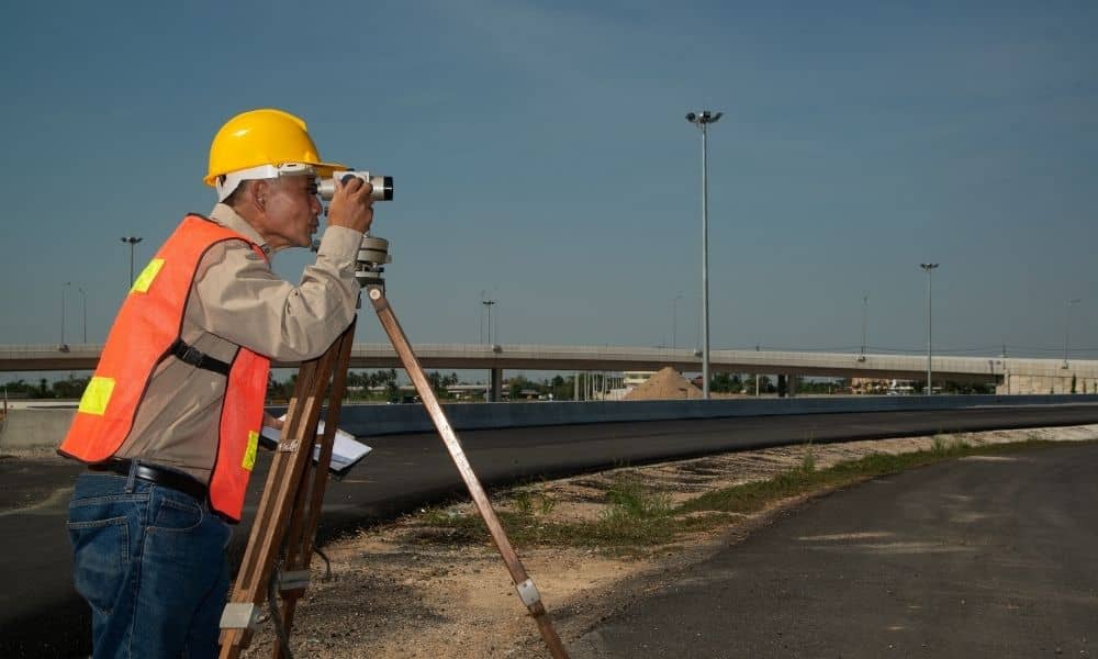
How a Boundary Survey Prevents Costly Disputes
If you’ve ever asked, “Where does my property really end?”—you’re not alone. Whether you’re installing a fence, buying land, or starting construction, knowing your property boundaries isn’t just smart—it’s essential. That’s where a boundary survey comes in. In a state like Colorado, where property lines can follow hills, rivers, and century-old plats, accurate boundary identification […]