
Residential Survey for Homes Bordering Public Open Space
Backing up to open space can feel like owning extra land. There’s no neighbor behind you, the views stay wide, and the grass or native brush seems to roll right out from the patio. That feeling is exactly why so many owners lose track of where their yard really ends. Over time, small changes creep […]
Licensed Surveyor for Public Land Access Easement Exhibits
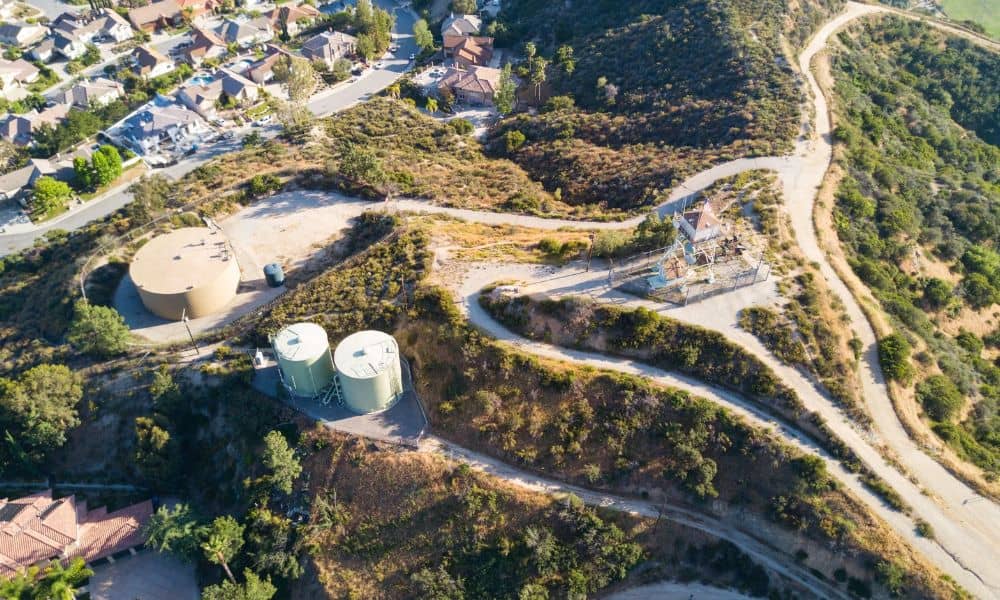
A landowner may get a request to let the public cross part of their land. It could be a short trail link to a creek path, a walkway to a park or a route to public open space. Before anyone signs, that route needs to exist on paper in a form people can check. A […]
What a Licensed Land Surveyor May Spot Before a Property Changes Hands

A property can look perfect on paper and still hide a problem no one has noticed in forty years. The fence looks right. The shed sits where it’s always sat. The deed reads the way it should. Then a licensed land surveyor walks the line, and something doesn’t add up. This happens more often than […]