
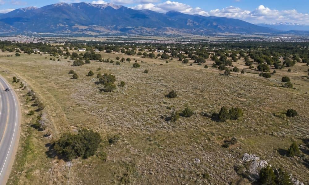
Some property comes with a detail you can’t see by walking the land. The person who owns the surface may not own the minerals below it. When those two interests belong to different owners, the property has a split mineral estate.
For a buyer, lender, developer or title professional, that split changes what you need to know before closing. A quick read of the current deed may not tell the whole story. An ALTA land survey can add a clear view of the physical property and certain recorded matters. It won’t decide who owns the minerals, though. That question sits with the title company and, at times, a real estate attorney.
When the Surface and Mineral Estates No Longer Match
A split mineral estate happens when ownership of the surface and ownership of the underground minerals get separated. This usually starts with an older sale or a reservation in a past deed. A former owner may have sold the land but kept the oil, gas or other minerals. Or they sold the minerals to someone else and kept the surface.
Because of that history, the current surface deed may show only part of the picture. It tells you who owns the ground you stand on. It can say nothing about who holds the minerals below. That’s why older recorded documents matter here. A reservation made decades ago can still control the mineral rights today.
A survey maps the surface parcel. It shows the boundary lines, the corners and the improvements on the land. Those lines describe the physical property. They do not describe who owns the minerals under that same ground. Owning the surface does not mean you own everything beneath it.
What an ALTA Land Survey Can Show When Mineral Rights Are Severed
An ALTA land survey gives the project team a detailed look at the physical property and how it lines up with certain recorded matters. It follows a national standard, so the buyer, lender and title company work from the same base of information. On a split-estate property, that shared picture helps everyone start from the same facts.
The survey can show these items within its agreed scope:
- The surveyed boundary lines and corners of the parcel
- Buildings, fences, roads and other improvements on the site
- Recorded easements and other matters listed in the title commitment
- Access points and how they relate to the mapped property
The surveyor works from documents the client and title company provide. That includes the title commitment and the recorded items it names. When a property has mineral issues, some of those documents need a closer read. A mineral reservation or a separate mineral deed may sit in the chain of title.
The 2021 ALTA/NSPS standards, the rules that govern this kind of survey, recognize that mineral interests can call for scope talks beyond a normal job. A split-estate property may need the client and surveyor to agree in writing on what the survey will cover. The final drawing then helps the team see the physical land next to the documented interests. It maps what’s there. It does not rule on who owns the minerals.
The Mineral Deed May Tell a Different Story Than the Site Visit
A field crew can measure the land, but they can’t see who owns the minerals under it. Mineral ownership usually leaves no mark on the surface. There may be no well, no sign, no equipment to point to. The ground can look completely ordinary while another party holds the rights below.
That ownership lives in recorded documents, not in the dirt. A mineral reservation may sit in a deed from many owners ago. A separate mineral deed may have moved those rights to a different party. These records can be filed apart from the current surface deed. Someone has to work through the chain of title to find them.
Here two jobs stay separate. A surveyor observes and maps physical conditions. A title professional researches recorded documents and reports what they find. Both matter, and they answer different questions. One tells you where the property sits and what’s on it. The other tells you what interests are recorded against it.
So the survey should line up with the title commitment and the recorded documents it references. An ALTA land survey can show or note information within the scope you agree on. It does not confirm mineral ownership. That question may still need title review and, in some cases, legal advice.
Why the Survey Scope Matters More on a Split-Estate Property
Scope is the agreement about what the survey will and won’t cover. On a plain parcel, scope is fairly routine. On a split-estate property, it deserves real attention up front. Mineral interests can raise questions a standard survey doesn’t handle on its own.
Tell the surveyor about any known mineral-estate issues before the work starts. If you know minerals were severed, say so early. That lets the surveyor, the client, the lender and the title insurer line up on what the survey should address. It also flags unusual interests before they become surprises at closing.
Early coordination clears up a few practical points. The team can decide whether the property needs extra research on the recorded interests. They can agree on whether the survey should note certain mineral-related documents. And they settle what the finished survey will show and what it leaves to the title and legal side.
The 2021 ALTA/NSPS standards back this up. They say properties with mineral interests may raise issues outside the usual survey, and they call for the scope to be discussed and agreed in writing. That written agreement protects everyone. The buyer knows what they’re getting, and the surveyor knows what to deliver.
A Property May Need More Than One Layer of Due Diligence
A split-estate property asks for more than one kind of review. The survey is one layer. The title work is another. When mineral rights are in play, you may need a few pieces working together before you commit.
A practical approach coordinates several things at once. The ALTA land survey covers the physical property and recorded matters within its scope. The current title documents show what’s recorded against the parcel. Recorded mineral instruments, like reservations or mineral deeds, fill in the subsurface ownership picture. When rights are unclear or disputed, a real estate attorney can step in, and your lender or title insurer may set their own requirements for a deal like this.
The City of Colorado Springs recognizes ALTA/NSPS land title surveys among the documents that can show certain property interests. That’s useful to know. It does not mean the survey stands in for the underlying legal documents. The survey supports the review. It doesn’t replace the deeds, the title work or the legal opinions behind them.
Treat the ALTA land survey as one part of a larger due-diligence process, not the whole answer. If a property might carry unusual mineral interests, raise it before you finalize the survey scope. That one step, done early, keeps the survey useful and keeps the rest of your review on solid ground.


