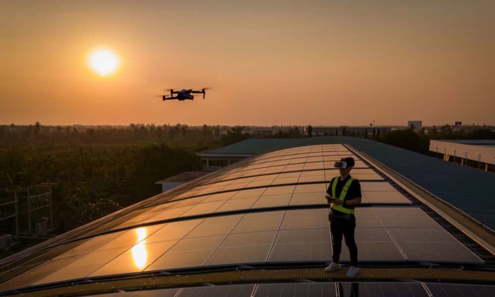
Drone surveying has become one of the most powerful tools for engineers, builders, and developers. Crews rely on drones every day to map subdivisions, check construction sites, and capture accurate ground data in a fraction of the time it used to take. But this week, many teams saw something unusual: their drones were flying fine, yet the data wasn’t lining up. The culprit wasn’t the equipment or the operator. It was the sky.
On September 15, a strong geomagnetic storm hit Earth. The event, ranked a G3 storm by the National Oceanic and Atmospheric Administration (NOAA), shook up GPS and GNSS signals around the globe. For most people, it was just a headline. For land surveyors and construction managers depending on real-time positioning, it was a real problem.
What Is a Geomagnetic Storm?
Think of Earth as a giant magnet surrounded by a protective bubble called the magnetosphere. When solar flares or high-speed winds from the sun hit this bubble, it shakes. That’s a geomagnetic storm. These storms can create the northern lights, but they also disturb satellite systems.
For drone surveying, that’s a big deal. Drones use satellites to get positioning corrections. When those signals bend or fade, the drone may lose centimeter-level accuracy. A flight that normally produces a clean surface model can suddenly show shifts, gaps, or “floating” points.
Why Felt It More
Colorado Springs sits along the Front Range at higher elevation than many U.S. cities. Crews here depend heavily on GPS-based corrections because of wide open tracts and rugged terrain. During strong geomagnetic storms, higher elevation areas often see more signal noise.
There’s also a local connection. The NOAA Space Weather Prediction Center, which tracks these events, is based in Boulder. That means surveyors are some of the first to hear updates when solar activity spikes. On September 15, many crews were already watching the storm alerts before they launched their drones.
What Crews Saw in the Field
Several survey teams reported RTK corrections “floating” during flights. Instead of locking in solid centimeter-level accuracy, the drones would drift. Some needed multiple passes to complete a job. Others paused flights and came back the next day when the storm settled down.
This wasn’t an operator error. It was a reminder that space weather can change field conditions in an instant. Even with the latest drones and software, accuracy is only as good as the signals coming from space.
How Professionals Adapted
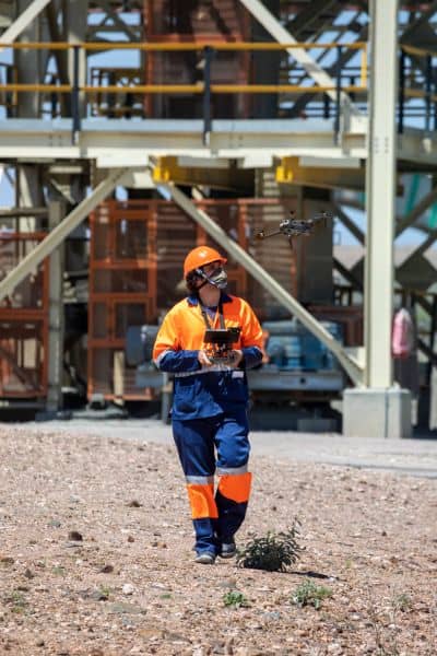
Experienced crews didn’t panic. They pulled out their backup playbook. Here are a few of the steps Colorado Springs surveyors used:
Leaning on local control. Colorado Springs Utilities offers survey control monuments across the city. By tying into these known points, surveyors could double-check and correct their drone data.
Checking forecasts. NOAA posts a three-day geomagnetic outlook. Crews that checked the morning of September 15 knew to expect trouble.
Adjusting equipment. By raising the elevation mask and tightening PDOP settings, surveyors cut out weaker satellite signals.
Using redundancy. Some drones can connect to multiple satellite constellations. Switching settings gave stronger coverage.
Logging raw data. Crews recorded raw GNSS data for later post-processing. This meant they could clean results back in the office, even if real-time corrections struggled in the field.
Why This Matters for Clients
From the outside, drone surveying may look as simple as launching a drone and downloading a map. But storms like this show why experience matters. Licensed surveyors understand how to handle signal problems. They know when to stop a flight, how to set control points, and how to deliver results that will hold up for permits, designs, or legal documents.
For clients—whether you’re a developer, a lender, or a homeowner—that’s a key takeaway. Anyone can buy a drone. Not everyone can deliver accurate surveys when conditions get tough. The cheapest option may not protect you from costly errors later.
Planning Ahead with Space Weather in Mind
Colorado Springs crews are already folding space weather checks into their routine. Before a big construction survey, they look at the NOAA Space Weather Prediction Center’s website. If the forecast shows a high Kp index (6 or more), they may shift flights by a day.
This small step saves time and avoids frustration. It also builds trust with clients. When surveyors explain that a solar storm could delay results by a day, clients see the professionalism behind the work. It shows that crews aren’t just flying drones—they’re managing risk.
Lessons Learned This Week
The storm of September 15 left a clear lesson: drone surveying is powerful, but it’s not invincible. External factors like geomagnetic storms can throw off the best equipment. Yet with planning, redundancy, and local knowledge, surveyors can still deliver.
For Colorado Springs, where growth and construction show no signs of slowing, that’s good news. Whether it’s staking a new subdivision, mapping floodplain changes, or checking roadwork, drone surveying will continue to be the fastest way to capture accurate ground data. Crews just need to keep an eye on the sky.
Final Thoughts
Technology has limits. The sky reminded us of that this week. But licensed land surveyors proved that with skill and planning, even a solar storm can’t stop progress.
If your project needs drone surveying that holds up under real-world conditions—not just fair-weather flights—work with professionals who understand both the science and the safeguards. When accuracy matters, experience is the best guarantee.