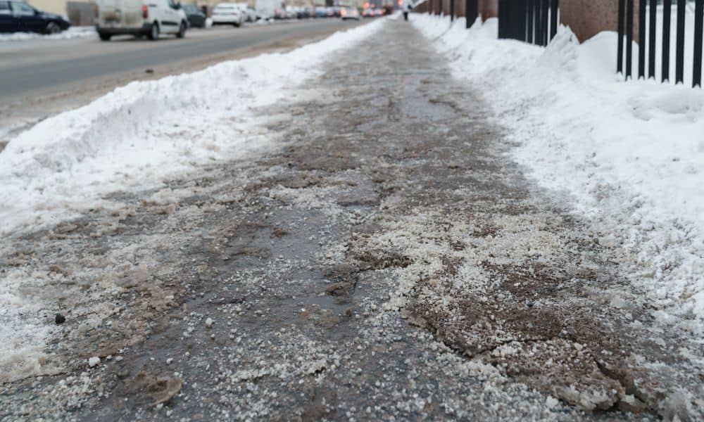
When huge chunks of ice started falling from the sky in Colorado Springs, people quickly shared the videos. Cars were damaged, roads turned slippery, and neighborhoods felt the sudden chaos. However, once the ice stopped falling, a new problem quietly began: fast melting and uncontrolled water flow. That is when many homeowners felt their biggest shock. Because when ice melts quickly on frozen ground, the water cannot soak into the soil. Instead, it races across the surface. This fast-moving water often follows slopes that are hard to see. As a result, homes that never flooded before suddenly dealt with pooling water, leaks, and drainage problems. This is why a topographic survey can become one of the best tools for protecting your home and property after severe winter storms.
Why Ice Storms Cause More Drainage Trouble Than Heavy Rain
At first, ice storms seem less dangerous than heavy rain. Yet, in many cases, they create bigger and more surprising problems.
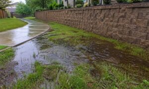
When the ground freezes, it becomes almost waterproof. Then, when temperatures rise, ice and snow melt fast. Instead of soaking into the soil, the water rushes across the ground. Even small slopes can suddenly move large amounts of water in directions you never noticed before.
Because of this, ice storms act like sudden flood tests for your property. They uncover weak spots, hidden low areas, and poor slopes. Sadly, many homeowners only discover these problems when water reaches their foundation, garage, or basement.
That is where a topographic survey makes a real difference.
Why Colorado Springs Properties Face Higher Risk After Ice Storms
Colorado Springs has a unique landscape. Sloped neighborhoods, foothill areas, and clay-heavy soil make drainage more challenging. During freeze-thaw cycles, soil expands and shrinks. Over time, this movement causes small but important changes in ground height.
Even a shift of one or two inches can completely change how water flows.
As a result, homes that once drained well may suddenly start collecting water in new areas. After a major ice storm, these small changes often show up in big ways.
Because of this, many homeowners experience new drainage problems after winter storms — even if their yards stayed dry for years before.
The Hidden Elevation Problems Ice Storms Reveal
Most people think they understand how water moves across their yard. In reality, tiny slopes control drainage far more than visible hills or dips.
These hidden trouble spots include:
- Small dips near foundations
- Settled soil along patios and sidewalks
- Slight reverse slopes near garages
- Low spots in backyards
- Grade changes from past landscaping work
During normal rain, these areas may not cause any trouble. However, during fast ice melt, water quickly rushes into these low spots. Once there, it pools, freezes again at night, and slowly works into cracks, foundations, and soil layers.
Because these problems grow slowly, homeowners often miss them until real damage begins.
How a Topographic Survey Shows Post-Storm Risk Areas

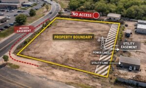
A topographic survey creates a detailed map of your land’s height, slopes, and drainage paths. Instead of guessing, homeowners see exactly how water moves across their property.
After an ice storm, this information becomes extremely valuable.
A topographic survey can show:
- Where meltwater collected
- Which slopes send water toward buildings
- New low spots caused by soil movement
- Drainage choke points
- Areas likely to flood again
With this data, engineers and contractors can design smart fixes that solve problems at their source instead of just treating the symptoms.
Real Property Damage After Ice Storm Melt
After major ice storms, many homeowners notice problems they never had before. These often include:
Garage flooding: Meltwater runs down sloped driveways and pools near garage doors, leaking inside.
Foundation pooling: Small dips near foundation walls allow water to collect and slowly seep into concrete.
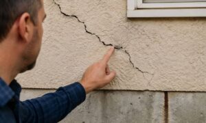
Basement moisture: Water pressure pushes moisture through tiny cracks in foundation walls.
Landscape damage: Lawns become soggy, plants die, and soil washes away.
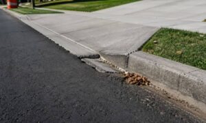
Hardscape damage: Patios, sidewalks, and retaining walls shift when water weakens their base.
Each of these issues often traces back to slight elevation changes that only a topographic survey can clearly detect.
When Storm Damage Becomes a Legal or Insurance Problem
Drainage issues do not stop at property damage. In many cases, they also lead to legal and financial stress.
After storms, homeowners may face:
- Insurance disputes over flood claims
- HOA notices about redirected runoff
- Complaints from neighbors
- Liability when water damages nearby properties
In these situations, accurate elevation data becomes very important. A topographic survey provides solid proof showing how water naturally flows across your land. This can help during insurance reviews, engineering checks, and legal discussions.
Without reliable data, these problems often turn into costly arguments.
Why Quick Repairs Often Fail Without Elevation Data
Many homeowners rush to fix drainage problems. They add soil, install drains, reshape slopes, or redirect downspouts. While these steps may seem helpful, they often fail without proper measurements.
Without a topographic survey:
- Grading may push water toward another trouble spot
- Drain pipes may sit too high or too low
- Slopes may flatten instead of improving flow
- Repairs may need expensive do-overs
Because of this, quick fixes can sometimes make drainage problems worse.
In contrast, solutions based on accurate elevation data fix the true cause, not just the surface symptoms.
How Smart Property Owners Use Topographic Surveys Before Trouble Starts
Instead of waiting for damage, many homeowners and builders use topographic surveys to stay ahead of problems. After major storms, they check their property before small issues grow into expensive repairs.
People often schedule a topographic survey when:
- Drainage patterns suddenly change
- Ice dams form near driveways
- Water pools after melting
- Foundation moisture appears
- Landscaping or grading work begins
This early action helps spot risks quickly. As a result, homeowners gain peace of mind and protect their long-term property value.
Protecting Your Property Starts With Understanding It
Winter storms are becoming more unpredictable. While no one can stop ice from falling, homeowners can control how their property handles the melt.
A topographic survey gives that control.
By showing small slopes, hidden low areas, and shifting drainage paths, it helps property owners fix problems before they cause major damage, legal disputes, or costly repairs.
If your home experienced unusual runoff, standing water, or ice buildup after Colorado Springs’ recent storm, now is a smart time to take a closer look. Understanding your land today can help you avoid expensive surprises tomorrow.