If you’re planning to build, grade, or improve land in Colorado, chances are you’ll need a topographic survey—even before laying the first stone. From proper water drainage to grading requirements and code compliance, topographic surveys are an essential part of smart land development.
Whether you’re a homeowner preparing for a landscape upgrade or a developer laying out a new subdivision, this guide will help you understand how topographic surveys directly support effective grading and drainage design.
What Is a Topographic Survey?
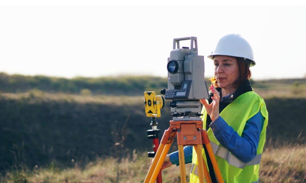
A topographic survey is a detailed map of your land that shows not just boundaries, but elevations, contours, and features—both natural and manmade.
What’s Included in a Topo Survey:
- Elevation contours (how high or low the ground is in different areas)
- Trees, rocks, slopes, and natural drainage paths
- Buildings, fences, and utility lines
- Pavement, curbs, driveways, and ditches
It’s a foundational tool used by engineers, architects, and landscape designers to assess how the shape of your land affects building, grading, and drainage.
Why Is a Topographic Survey Needed for Grading?
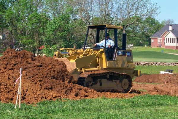
Grading refers to reshaping the land’s surface to ensure a solid foundation and proper slope. In Colorado, this is especially important due to:
- Hilly or uneven terrain in areas like Colorado Springs or Boulder
- Erosion control requirements in mountain or foothill zones
- Municipal drainage codes that require slope away from structures
Topo Surveys Help by:
- Identifying high and low points to calculate slope
- Ensuring level pads for buildings, driveways, or patios
- Supporting excavation and fill calculations
- Avoiding future drainage or foundation issues
Without an accurate survey, grading becomes guesswork—and guesswork leads to costly problems.
How Topographic Surveys Support Drainage Design
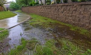
Drainage design ensures water flows away from structures, not toward them. Improper drainage can lead to:
- Basement flooding
- Soil erosion
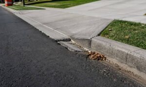
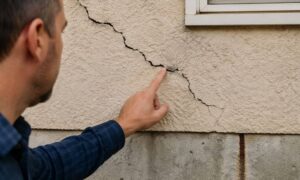
- Structural damage
- Mold growth or landscape washout
A topographic survey provides the elevation data engineers need to:
- Plan swales, drainage ditches, or detention ponds
- Design slope grades that direct water properly
- Create stormwater management plans for permits
📌 Example Use Case:
A Denver-area homeowner wanted to install a new patio and raised garden beds. Their engineer used a topo survey to spot a subtle slope directing runoff toward the house foundation. The design was adjusted to include a shallow swale and gravel trench to guide water away—preventing future water damage.
When Do You Need a Topographic Survey?
You may need a topo survey if:
- You’re developing raw land
- Your project includes earthmoving or regrading
- The local jurisdiction requires a grading or stormwater permit
- Your architect or engineer requests elevation data
- You’re in a flood-prone or slope-restricted area
Who Performs a Topographic Survey?
Only a licensed land surveyor should perform a topographic survey. They use tools like:
- Total stations and GPS equipment
- Drones or LiDAR mapping for larger or complex terrains
- CAD software to produce elevation maps and contour lines
How Much Does a Topographic Survey Cost in Colorado?
Costs vary by site size, slope, and access. Here’s a general breakdown:
| Property Type | Estimated Cost Range |
| Small residential lot | $800–$1,500 |
| Medium suburban lot | $1,200–$2,500 |
| Rural acreage or complex terrain | $2,500 and up |
Topo Survey Deliverables: What You’ll Receive
- Topographic map showing elevations, features, and contours
- Digital files (.DWG, .PDF, etc.) for use in design software
- Optional 3D models for grading simulations
- Hard copy or digital plat stamped by a licensed surveyor
These deliverables are typically used by:
- Civil engineers for drainage planning
- Landscape architects for grading
- City planning offices for permits and code checks
Internal Use Case: Colorado Development Project
A real estate developer in Fort Collins needed to grade several lots for custom homes. A topo survey revealed several low spots that could collect stormwater. The civil engineering team used the data to grade the site with subtle slopes and integrated underground drains—ensuring that each lot drained efficiently while meeting city stormwater design requirements.
Do You Need a Topo Survey AND a Boundary Survey?
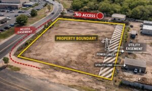
Often, yes. While topographic surveys focus on elevation and features, boundary surveys define your legal property lines. Together, they provide a full picture of:
- Where you can build
- How the land behaves
- What your responsibilities are for grading and runoff
Start with the Ground, Not Just the Plan
If you’re building in Colorado, don’t overlook the terrain. A topographic survey is the foundation for smart grading, safe drainage, and a project that meets code and avoids costly water issues.
Start your design right—by knowing what’s under your feet.
FAQs
1. Is a topo survey required for a building permit?
In many Colorado municipalities, yes—especially if you’re regrading or adding structures.
2. Can a topo survey be combined with other surveys?
Yes, it’s often combined with a boundary or construction survey.
3. How long does a topo survey take?
Typically 1–3 days for fieldwork and a few days for final mapping.
4. What file types will I receive?
Most surveyors provide CAD (.DWG), PDF, and hard-copy prints.
5. Is drone mapping accurate for topo surveys?
Yes—modern drones and LiDAR provide highly accurate elevation data, especially for larger properties.