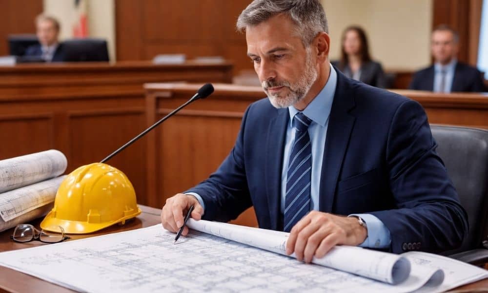
Engineering Expert Witness: Beating Rule 702

When a building fails, a road cracks, or a construction project turns into a lawsuit, the case often depends on one person: the engineering expert witness. However, in Colorado courts, strong technical skill does not mean the expert will automatically testify. Before a jury hears anything, a judge must decide if the testimony meets Rule […]
Viral Property Disputes: Call a Licensed Land Surveyor

A recent viral property line dispute blew up online after neighbors started fighting over boundary markers. People argued in the comments. Some said, “Just move the stake.” Others said, “It’s your land — do what you want.” However, almost none of them explained the real issue. Boundary markers are not decorations. They are not suggestions. […]
How Licensed Engineers Prevent Costly Construction Mistakes

Construction projects have many parts. From planning to final inspection, even small mistakes can cause big problems. These problems often lead to delays, higher costs, and long repairs. That is why licensed engineers play such an important role. They help stop mistakes before they happen. Licensed engineers do more than draw plans. They protect projects […]