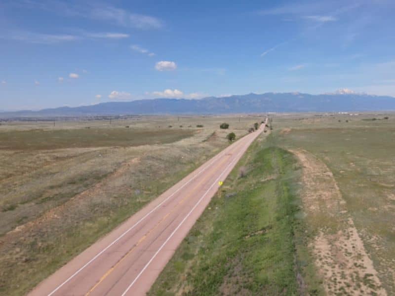
When people hear about a boundary survey, they usually think of small property lines or fences. But what happens when a boundary survey covers nearly 2,000 acres? That’s exactly what’s happening near Schriever Space Force Base, where a huge project called the Karman Line Annexation is stirring up debate in Colorado Springs.
This project plans to add 1,900 acres to the city and build up to 6,500 new homes. Sounds exciting, right? But many local residents are worried. They’ve started petitions, voiced concerns, and even pushed to have the city council reconsider the plan. At the heart of the issue lies a boundary survey — the kind that determines exactly where the city’s new limits will be drawn.
What Makes Boundary Surveys Tough for Big Projects?
A boundary survey defines the legal edges of a property. For a small yard, it might be simple. But when you’re talking about thousands of acres, things get complicated fast. The Karman Line Annexation is no ordinary land project. It involves multiple landowners, environmental concerns, and city planning rules.
Surveyors face challenges like unclear or conflicting land records. Sometimes, old maps don’t match what’s really on the ground. Rivers and hills can shift boundaries over time, making the job even harder. When these surveys aren’t perfect, they can cause confusion, legal fights, or even delays in building.
Why Residents Are Concerned About the Survey
Residents near the proposed annexation have real worries. Many believe the new homes will strain roads, schools, and water supplies. But they’re also concerned about the boundary survey itself. If the city’s lines aren’t drawn correctly, who knows which land really belongs to whom?
Boundary survey mistakes could mean new construction happens where it shouldn’t. This might block important natural areas or put homes too close to military operations at Schriever Space Force Base. When people feel unsure about property lines, it can lead to mistrust — and that’s why over 31,000 residents signed a petition to stop or slow the annexation.
The Bigger Picture: Boundary Surveys and Urban Planning
Boundary surveys are not just about drawing lines on a map. They guide city planners and engineers in making decisions that affect everyday life. For example, these surveys determine where roads can go, how utilities like water and electricity are connected, and where parks or schools might be built.
In Colorado Springs, the Karman Line Annexation means planners must think carefully about infrastructure and environmental impacts. If the boundary survey has errors, the city could end up approving construction in areas prone to flooding or too close to protected lands. That’s why survey accuracy is crucial to making smart, safe decisions for the community.
How Surveyors Handle Complex Boundary Work
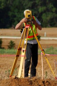
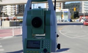
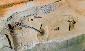
Licensed land surveyors are the experts tasked with this important work. For projects like Karman Line, they use advanced technology like drones, GPS, and geographic information systems (GIS) to gather accurate data. Drone land surveying, for example, lets surveyors see the land from above and catch details that might be missed from the ground.
Surveyors also review historical records and talk to landowners to ensure they have the full picture. They mark property corners and create detailed maps that help everyone understand where one property ends and another begins. This careful work forms the basis of trusted legal property mapping services, which are essential for keeping projects moving forward and preventing costly disputes.
What This Means for Property Owners Near the Annexation
If you own land near the Karman Line project, it’s smart to pay close attention to these boundary surveys. Accurate surveys protect your property rights. They can stop neighbors or developers from accidentally crossing lines or building on your land.
Also, if you’re thinking about selling or developing your property, knowing your exact boundaries is key. A professional boundary survey gives you proof of where your land starts and ends, which helps avoid future legal headaches.
What’s Next for the Karman Line Annexation?
The Colorado Springs City Council plans to revisit the annexation after residents’ petitions forced a review. A special election is scheduled for June 17, 2025, where voters will have their say. This decision will likely hinge on many factors, but boundary survey issues will certainly play a role.
Accurate and transparent boundary surveys can help rebuild trust between the city and its residents. They show that the city respects property rights and environmental concerns. For surveyors and city planners, this means working carefully and communicating clearly.
Why Boundary Surveys Matter Beyond This Case
While the Karman Line Annexation is a big story, boundary surveys affect many communities in Colorado and across the country. Whether it’s a small yard or a huge development, knowing where property lines lie is essential. It protects landowners, supports urban planning, and prevents disputes.
So next time you hear “boundary survey,” remember it’s not just a technical step. It’s the foundation for fair and organized growth. And in places like Colorado Springs, it can even spark important debates about the future of our communities.
Final Thoughts
Boundary surveys might sound like a dry topic, but as the Karman Line Annexation shows, they have a real impact on people’s lives. They shape how cities grow and how neighbors coexist. As Colorado Springs faces big changes near Schriever Space Force Base, boundary surveys will remain front and center — helping guide the city through challenges and decisions ahead.
If you’re near this area or involved in land development, stay informed. A clear, accurate boundary survey can save you time, money, and stress. And when you’re unsure where your property ends and the city begins, it helps to have experienced land survey specialists on your side — professionals who understand terrain, laws, and the value of getting it right the first time.
