
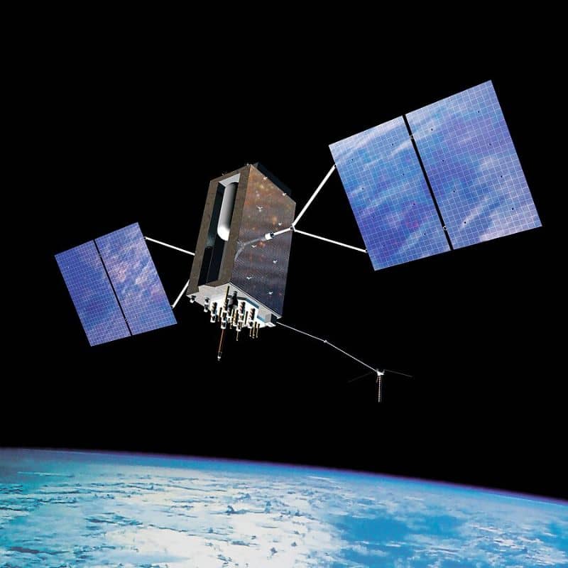
The National Spatial Reference System (NSRS) is the foundation of geospatial positioning in the United States. It affects everything from land surveying to GPS navigation. However, the current reference systems, NAD 83 (North American Datum 1983) and NAVD 88 (North American Vertical Datum 1988), contain inaccuracies due to tectonic movements and outdated technology.
To improve accuracy, the National Geodetic Survey (NGS) is launching a major modernization initiative in 2025. This update will introduce:
- Four new terrestrial reference frames
- A new geopotential datum
These changes will provide more precise positioning data across multiple industries, improving GPS accuracy, geospatial records, and supporting new technologies such as self-driving vehicles and AI-powered mapping.
What Is Changing?
1. Introduction of New Terrestrial Reference Frames
NGS will introduce four new terrestrial reference frames for different regions:
- NATRF2022 (North American Terrestrial Reference Frame)
- PATRF2022 (Pacific Terrestrial Reference Frame)
- CATRF2022 (Caribbean Terrestrial Reference Frame)
- MATRF2022 (Mariana Terrestrial Reference Frame)
These new systems will replace NAD 83, correcting errors caused by continental drift and improving horizontal accuracy.
2. Implementation of NAPGD2022 (New Geopotential Datum)
The North American-Pacific Geopotential Datum of 2022 (NAPGD2022) will replace NAVD 88. Unlike the old system, which relied on outdated benchmarks, NAPGD2022 will use modern gravity data to measure elevations more accurately.
3. Phase-Out of NAD 83 and NAVD 88
Both NAD 83 and NAVD 88 have inaccuracies that affect mapping and elevation data. By switching to modernized reference frames, elevation discrepancies—some as large as 1.5 meters—will be corrected.
Why This Matters?
1. Enhanced Accuracy for GPS, GIS, and Mapping
The new system will eliminate distortions in mapping, providing more precise latitude, longitude, and elevation data. This will benefit surveyors, engineers, and mapping professionals.
2. Consistent Data Across Sectors
Government agencies, businesses, and researchers use geospatial data for different purposes. The update will ensure consistency, making data more reliable and compatible across industries.
3. Better Navigation for Autonomous Systems
Industries that rely on autonomous drones, self-driving cars, and AI-based geospatial applications will benefit from improved accuracy. This will lead to safer and more reliable navigation.
Impact on Key Industries
1. Land Surveying & Engineering
- Surveyors must update control points and recalibrate equipment.
- Engineers will need to adjust elevation benchmarks in construction projects.
2. Infrastructure & Construction
- Roads, bridges, and buildings rely on precise elevation data.
- Construction companies must update geodetic standards to comply with the new system.
3. Transportation & Logistics
- Autonomous vehicles, drones, and air traffic control require precise location data.
- The improved reference frames will enhance GPS accuracy, reducing errors in navigation and safety.
4. Real Estate & Urban Planning
- Property boundaries and flood risk assessments will become more accurate.
- Better geospatial data will help in zoning laws, environmental monitoring, and disaster preparedness.
How Government & Industry Are Preparing
1. NGS Training Programs & Webinars
To help professionals adapt, NGS is offering:
- Training sessions on the new reference system.
- Webinars covering data integration and regulatory changes.
2. New Tools and Software Updates
- GIS platforms, surveying tools, and CAD software will be updated to support the new system.
- Organizations must upgrade their technology to ensure compatibility.
3. Potential Regulatory Changes
- Federal and state agencies may introduce new geodetic compliance rules.
- Construction and surveying firms must update contracts and building codes accordingly.
Challenges & Solutions
1. Cost & Transition Barriers
- Challenge: Upgrading equipment and retraining staff can be expensive.
- Solution: Government funding and subsidies may help cover costs.
2. Data Compatibility Issues
- Challenge: Old geospatial data may not align with the new system.
- Solution: Conversion tools will help translate old data to the new format.
3. Public & Private Sector Collaboration
- Challenge: Government agencies and private companies need to work together for a smooth transition.
- Solution: Industry task forces will provide guidance and support.
Frequently Asked Questions (FAQs)
1. What is the purpose of the NGS Modernization 2025?
The NGS Modernization 2025 aims to replace outdated reference systems (NAD 83 and NAVD 88) with more precise terrestrial reference frames and a geopotential datum, improving accuracy for GPS, mapping, and surveying.
2. How will the new geospatial system affect land surveyors and engineers?
Surveyors and engineers will need to update geodetic control points, recalibrate equipment, and adopt new software to align with the modernized system, ensuring accurate elevation and positioning data.
3. Will older geospatial data still be compatible with the new system?
Legacy data may require conversion tools to align with the new reference frames. NGS will provide software updates and training programs to help integrate past and future datasets seamlessly.
The 2025 NGS modernization is a major step forward in improving U.S. geospatial accuracy. While the transition comes with challenges—such as costs, training, and data integration—the benefits are far greater.
With better positioning data, industries will experience higher efficiency, improved reliability, and more technological innovations. By investing in education, updated tools, and collaboration, professionals can successfully adopt the new NSRS framework, ensuring a more accurate and standardized geospatial system for the future.