In the rapidly evolving world of engineering, staying ahead means using the most precise tools available. One of those tools is LiDAR mapping—a game-changer that’s quietly transforming how we plan, build, and maintain infrastructure. Whether you’re designing highways, managing utilities, or mapping flood zones, LiDAR offers an edge in accuracy and speed that traditional methods can’t match.
So what exactly is LiDAR mapping, and why is it becoming essential in the engineering field?
Basics of LiDAR
LiDAR stands for Light Detection and Ranging. It’s a remote sensing method that uses laser light to measure distances to the Earth’s surface. Imagine shining a flashlight at a wall and measuring how long it takes the light to bounce back. That’s the basic idea—only much more advanced.
LiDAR systems collect millions of precise data points per second, creating detailed 3D models of the ground, buildings, vegetation, and more. This technology is especially helpful for projects that need elevation data or surface modeling.
A Brief History of LiDAR Technology
LiDAR technology has been around since the 1960s, originally used for military and aerospace applications. But in the last 20 years, it has evolved dramatically. With improvements in GPS and computing power, LiDAR is now widely used in engineering, environmental studies, autonomous vehicles, and even archaeology.
How LiDAR Mapping Works
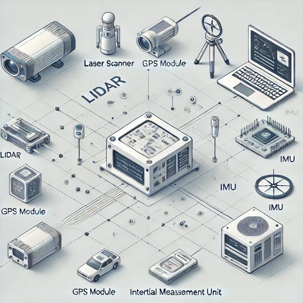
The Key Components: Laser, Scanner, GPS, IMU
A LiDAR system consists of a laser emitter, scanning system, GPS unit, and IMU (Inertial Measurement Unit). Together, these components calculate the exact position and orientation of the scanner, allowing it to create accurate spatial data.
Airborne vs. Terrestrial LiDAR Systems
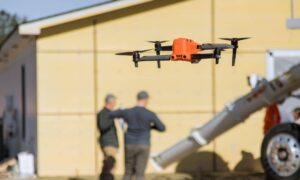
LiDAR can be mounted on aircraft, drones, or ground vehicles.
- Airborne LiDAR is great for large-scale mapping, like cities and coastlines.
- Terrestrial LiDAR is better suited for building inspections, bridges, and detailed urban projects.
Step-by-Step Breakdown of the LiDAR Mapping Process
- Laser pulses are emitted toward the ground.
- Sensors capture the reflected light.
- Timing calculations determine the distance.
- GPS and IMU data pinpoint the exact location.
- Millions of points form a “point cloud” for analysis.
Advantages of LiDAR in Engineering Projects
1. High Accuracy and Resolution
LiDAR can detect elevation changes as small as a few centimeters. This level of detail is perfect for projects requiring precise measurements—like drainage planning or bridge construction.
2. Rapid Data Collection and Processing
Instead of weeks of field surveying, LiDAR collects data in hours. This means faster project timelines and quicker decision-making.
3. Cost and Time Efficiency
While the initial setup might seem expensive, the long-term savings in time, labor, and error correction make LiDAR a smart investment for most engineering teams.
Common Applications of LiDAR Mapping in Engineering
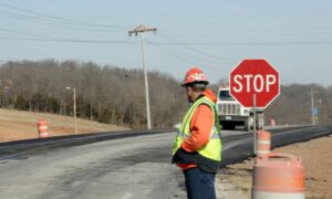
- Civil Engineering: Roads, Bridges, and Utilities. Engineers use LiDAR to map road surfaces, locate underground utilities, and monitor bridge deformation.
- Structural Engineering: Building Analysis and Inspection. LiDAR helps in modeling buildings for retrofitting, energy efficiency assessments, and safety inspections.
- Environmental and Geotechnical Engineering Uses. From landslide analysis to watershed modeling, LiDAR delivers the detail needed for reliable environmental assessments.
LiDAR vs Traditional Surveying Techniques
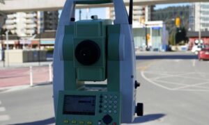
- Accuracy and Speed Comparison. Traditional surveying relies on manual measurements and visual observation. LiDAR, by contrast, collects thousands of times more data in a fraction of the time.
- Data Types and Outputs. Traditional methods offer limited data types. LiDAR provides dense 3D point clouds, elevation models, contour maps, and vegetation analysis—all in digital form.
Software and Tools Used in LiDAR Mapping
- Point Cloud Processing Platforms. Programs like CloudCompare, TerraScan, and Trimble Business Center help process and interpret LiDAR data.
- CAD and GIS Integration. Engineers integrate LiDAR into CAD and GIS software, making it easier to visualize projects, perform simulations, and manage infrastructure assets.
Real-World LiDAR Mapping Projects in Engineering
Many successful infrastructure projects—from interstate highways to renewable energy sites—rely on LiDAR for planning and maintenance. These projects benefit from fewer errors, better planning, and reduced costs.
LiDAR Mapping in Colorado
- Why LiDAR is Crucial for Urban Planning in Denver. Denver’s rapid expansion creates challenges in transportation, zoning, and sustainability. Local LiDAR services in Denver, CO enable city planners and engineers to work with high-resolution data for smart growth initiatives.
- Applications of LiDAR for Flood Modeling in Colorado Springs. Colorado Springs faces unique topographic and hydrological challenges. LiDAR mapping helps model flood zones, design stormwater systems, and manage environmental risk—especially important in areas prone to sudden storms.
- Regional Opportunities for Engineering Firms Using LiDAR. Both cities are pushing for smart infrastructure, and LiDAR is at the heart of it. Firms using LiDAR gain a competitive edge in transportation, land development, and environmental projects.
Future Trends in LiDAR Mapping Technology
- AI and Automation in LiDAR. AI tools now process point clouds faster, detect patterns, and even classify terrain features automatically—reducing human error and speeding up workflows.
- Expanding Use in Smart Cities and Infrastructure. As cities adopt IoT and smart systems, LiDAR becomes essential for real-time mapping, traffic analysis, and urban planning.
FAQs
Q1: Is LiDAR mapping only for large-scale projects?
No, LiDAR can be used for small projects like building inspections or park mapping.
Q2: How accurate is LiDAR data?
LiDAR data accuracy is typically within a few centimeters, depending on the system used.
Q3: Can LiDAR see through vegetation?
Yes, LiDAR can penetrate vegetation to reveal ground surfaces, making it ideal for forestry and terrain analysis.
Q4: How long does a LiDAR survey take?
A drone-based survey can be done in a day, with data processed within a few days, depending on complexity.
Q5: Is LiDAR better than drone photogrammetry?
LiDAR is more accurate in elevation data and better in dense vegetation, but photogrammetry is useful for texture and color imagery.
Q6: Where can I get LiDAR mapping services in Colorado?
Several local firms offer LiDAR mapping in Denver, CO and Colorado Springs, CO, especially for civil and environmental engineering projects.
