Soil testing is one of the most important first steps in any construction project. Before you pour concrete or raise walls, it’s essential to understand what’s beneath the surface. Testing the soil helps builders, engineers, and developers make smart decisions that keep structures safe, stable, and long-lasting.
What Is Soil Testing?
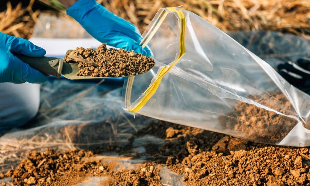
Soil testing means collecting and analyzing samples of the ground where construction is planned. Engineers look at the soil’s layers to understand its strength, type, moisture levels, and more. This helps them decide what kind of foundation is needed.
Some common types of tests include:
- Standard Penetration Test (SPT) – Measures how tightly packed the soil is
- Cone Penetration Test (CPT) – Checks how strong the soil is under pressure
- Moisture Content Test – Shows how wet the soil is
- Atterberg Limits Test – Tells how the soil reacts to water
These tests help engineers avoid surprises once construction begins.
Why Soil Testing Matters in Civil Engineering
Different soil types can hold different amounts of weight. What works for one site might not work for another. That’s why engineers use soil testing before drawing up any construction plans.
With proper testing, engineers can:
- Pick the right foundation
- Prevent future cracks and damage
- Save time and money on repairs
- Make sure the building meets safety rules
Without this information, even a well-designed building might end up with serious issues.
Common Problems That Soil Testing Can Prevent
Skipping soil testing can lead to costly mistakes. Here are just a few problems it can uncover early:
- Loose soil that can shift over time
- Expansive clay that swells and shrinks with moisture
- Contaminated soil that may delay construction or need cleanup
Finding out about these early gives you time to fix the problem—before it causes damage or delays.
How Civil Engineers Use the Results
Once the test results are in, civil engineers use them to design a safe foundation. If the soil is weak, they might recommend a deeper foundation or special support systems. If water levels are high, they’ll create a drainage plan to protect the building.
This expert planning helps prevent expensive fixes later—and keeps your project on track from the start.
What Happens If You Don’t Test the Soil?
If you skip soil testing, here’s what might happen:
- Foundation cracks
- Uneven floors or walls
- Legal or insurance issues
- Delays or full rebuilds
That’s why smart builders always test the soil first—especially when it’s required for permits or inspections.
Ready to Build? Start with the Ground
Soil testing might feel like a small step, but it has a big impact on your project’s success. It helps you plan smarter, build safer, and avoid major headaches later on.
If you’re planning a project, working with a civil engineering firm can ensure your soil is properly evaluated before construction begins.