
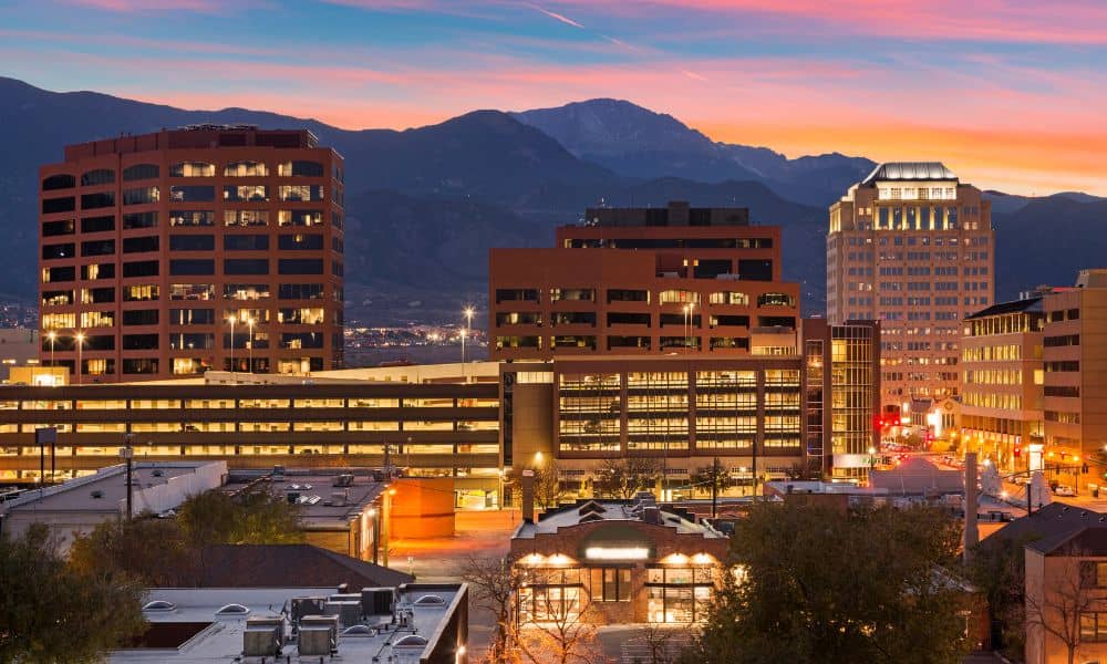
Buying or developing property in Colorado Springs is a big step. To avoid costly surprises, an ALTA survey gives you the full picture—showing boundaries, buildings, and any legal issues. Whether it’s a downtown shop or open land, an ALTA survey provides clear facts to help you plan confidently.
If you’re new to ALTA surveys, here’s what to expect from start to finish.
What Is an ALTA Survey?
An ALTA survey is a super-detailed property map. It follows rules set by the American Land Title Association and the National Society of Professional Surveyors.
It shows:
- Exact property boundaries
- Building locations
- Easements and rights-of-way
- Access points
- Improvements like driveways or fences
- Zoning and flood zone details (if requested)
The difference between an ALTA survey and a regular boundary survey is the level of detail. A boundary survey might only show property lines. An ALTA survey shows the full picture. That’s why lenders and title companies rely on it to avoid problems later.
In Colorado Springs, land ranges from downtown lots to hillside acreage. That extra detail can make a big difference.
When You Might Need an ALTA Survey
Common situations that require an ALTA survey include:
- Buying or selling commercial property
- Developing vacant land for business use
- Purchasing multi-family housing units
- Refinancing with a commercial lender
- Properties with multiple easements or access agreements
Even if it’s not required, an ALTA survey can reveal hidden issues. For example, it might find an unrecorded driveway easement or a neighbor’s fence over the property line.
For instance, buying a historic building near Tejon Street downtown might seem simple. But older properties can have outdated records. An ALTA survey catches these errors before they become costly.
The ALTA Survey Process in Colorado Springs

If you’ve never had one done, here’s the usual process:
Step 1 – Hire a Qualified Surveyor
Find a licensed land surveyor in Colorado Springs with ALTA survey experience. Local knowledge is key—someone familiar with zoning rules and terrain can save you time.
Step 2 – Share Your Title Commitment
This document from the title company shows ownership and recorded restrictions or easements. Your surveyor uses it as a guide to match everything on the ground.
Step 3 – Choose Table A Items
Table A items are optional details to include. Examples:
- Topography (elevation changes)
- Parking space counts
- Flood zone classification
These extras help developers and investors.
Step 4 – On-Site Fieldwork
The surveyor visits the property to measure boundaries, check markers, and record features. In Colorado Springs, this might mean working on steep slopes in Mountain Shadows or busy streets in Briargate.
Step 5 – Drafting and Delivering the Survey
The surveyor creates a detailed ALTA-compliant map. You, your lender, and title company review it to confirm all details.
Why ALTA Surveys Matter in Colorado Springs
Our city is growing fast, with new developments in the Powers Corridor and Northgate. That adds pressure on land use, zoning compliance, and accurate records.
An ALTA survey helps you:
- Avoid property disputes
- Confirm access rights
- Identify encroachments before they become legal problems
- Ensure compliance with building and zoning codes
It’s not just about avoiding trouble—it’s about buying with confidence.
Real-World Example: From Uncertainty to Clarity
A small business owner wanted to buy a commercial lot on Colorado Springs’ east side to build a shop. Everything looked fine until the ALTA survey found an unrecorded utility easement cutting through the lot.
Instead of finding out during construction—which would have been costly—they worked with the seller to adjust the site plan before closing. The result? No delays, no legal battles, and a project that stayed on schedule.
Tips for a Smooth ALTA Survey Experience
- Order early—last-minute requests can delay closing.
- Be clear about your needs—tell your surveyor if you want specific Table A items.
- Review the results carefully—make sure property lines, easements, and features match your expectations.
💡 If you’re starting a property purchase or development, order an ALTA survey in Colorado Springs early to prevent surprises.
FAQs
Q1: How long does an ALTA survey take?
A: Usually 1–3 weeks, depending on property size and complexity.
Q2: How much does an ALTA survey cost locally?
A: Prices range from $2,000 to $5,000+, depending on the scope.
Q3: Can I reuse an old ALTA survey?
A: Sometimes, but it must be updated to show current conditions and meet lender requirements.
Q4: Do I need one for vacant land?
A: Yes, if it’s part of a commercial transaction or lender requirement.
Q5: Who gets the final survey?
A: You, your lender, and your title company keep copies for property records.
Conclusion
An ALTA survey isn’t just another box to check. It protects you from unexpected problems. In a fast-growing city like Colorado Springs, having a clear, accurate property picture can mean the difference between a smooth project and costly delays.
Whether you’re buying a downtown building or open land, knowing exactly what you’re getting is worth it. For accurate mapping and peace of mind, consider professional Colorado Springs land surveying services to start your ALTA survey.