Thinking about building? Whether it’s a new home, a backyard addition, or even a small deck, one step you shouldn’t skip is a construction survey. It might not sound exciting, but trust me—it can save you from major headaches later. Without one, you risk building over the line, ignoring setback rules, or getting into disputes with your neighbors. And nobody wants to deal with tearing down a brand-new structure just because it’s in the wrong spot.
What Is a Construction Survey?
A construction survey is like a roadmap for your property. Instead of guessing where your land begins and ends, the survey shows the exact boundaries and connects them to your building plans.
This is especially important in Colorado Springs, where land isn’t always flat. Between the rolling hills near the Front Range and the city’s drainage patterns, building here can be tricky. A licensed land surveyor uses precise tools to mark things out so your contractor knows exactly where to build—and where not to.
Why Boundary Issues Pop Up During Construction
You’d be surprised how often property disputes happen. A lot of the time, it’s not because someone is being sneaky—it’s because they guessed. A fence goes up along a tree line, a shed gets built “about” where the owner thought the lot ended, or a driveway nudges too close to a neighbor’s yard.
This happens a lot in neighborhoods where older homes sit right next to new builds. Here are the usual culprits:
- Using old plats that no longer match current layouts.
- Skipping over the city’s zoning and setback requirements.
- Assuming fences, sidewalks, or even rock walls show the true property line.
The result? Delays, lawsuits, or the gut-wrenching job of tearing out part of a project you just paid for.
How a Construction Survey Keeps You Out of Trouble
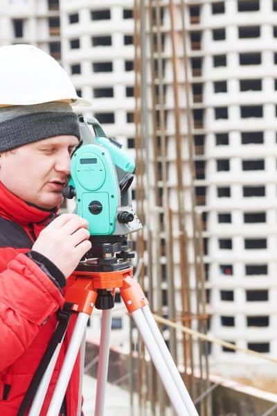
Setting Property Lines Straight
A surveyor marks your property lines with precision, giving your builder the confidence to place your garage, patio, or fence exactly where it belongs. A pre-construction survey helps keep your project on track and avoid costly mistakes.
Staying on the City’s Good Side
Colorado Springs has strict zoning laws and setback rules, especially near creeks or hillsides. If you build without checking, you might end up with fines or stop-work orders. A construction survey helps you get ahead of that by showing exactly where your project fits within the city’s rules.
Keeping Peace with Neighbors
Nobody wants to argue with the folks next door. A construction survey takes opinions out of the picture by providing facts. When everyone can see a professional map of the property, it’s much easier to avoid hard feelings and keep things friendly.
Real-World Stories from Colorado Springs
Here’s one that hits close to home: a family in Briargate wanted to extend their deck. Their first design pushed three feet into the neighbor’s lot. If they hadn’t gotten a construction survey, they might not have known until after the deck was built—and by then, it would’ve been a nightmare to fix.
Another example: a developer downtown needed to build a parking lot. Without a survey, the design would have spilled into city right-of-way space. Because they ordered the survey first, they not only avoided the mistake but also got quicker permit approval.
Both projects show how a simple survey can save money, time, and relationships.
When Should You Get a Construction Survey?
The short answer? Anytime you’re building near the edges of your property. It’s worth ordering one if you’re:
- Adding on a garage, pool, or deck
- Putting up a new fence
- Doing a major remodel or expansion
- Developing a vacant lot or splitting a big property
Basically, if construction is on your radar, a survey should be too. Working with local construction surveyors can make the process simple—they understand the area, the rules, and the unique challenges of building in Colorado Springs, helping you stay on track and avoid costly mistakes.
How to Pick the Right Surveyor
Not every surveyor is the same. To get results you can count on, look for someone licensed and experienced. Local knowledge is huge because surveyors here deal with unique challenges like hillside development rules, stormwater management, and even wildfire safety zones.
Here’s what to check:
- A valid license and insurance.
- Experience with projects like yours—residential or commercial.
- Familiarity with the city’s zoning office and permit process.
When you hire the right surveyor, you’re not just buying a service—you’re buying peace of mind.
Wrapping It Up
At the end of the day, a construction survey is like insurance for your project. It keeps your build inside the lines, keeps the city happy, and keeps your neighbors from turning into enemies. In a city like Colorado Springs, where growth is happening fast and space can get tight, it’s a step you don’t want to skip.
Before you break ground, a quick check by a local surveyor can save headaches later—making sure your project stays on track and within your property lines.

