Earlier this month, people all over southern Colorado were talking about one thing — the plan to build a Buc-ee’s in Palmer Lake. Some people were excited about the famous travel stop coming to town. Others were worried about traffic, noise, and how much the area would change. But for surveyors, builders, and property owners around Colorado Springs, the story had a different meaning. It showed why ALTA surveys are so important when big projects start along the I-25 corridor.
At the start of October, the Palmer Lake town board voted to send the Buc-ee’s annexation plan to a public vote. That decision came after long meetings, heated social media posts, and even a trustee stepping down. While residents debated the future of their town, land experts saw something deeper — how survey data and boundary lines shape every major project in the region.
How the I-25 Corridor Connects It All
Palmer Lake is only a short drive north of Colorado Springs. Both communities share the same growth path along Interstate 25. Every new exit, road project, or shopping area affects everything else nearby.
When a large business like Buc-ee’s wants to build, the ripple effect travels miles. Traffic patterns, drainage systems, and property values all change. That means more work for planners, engineers, and surveyors.
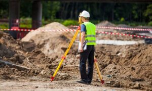
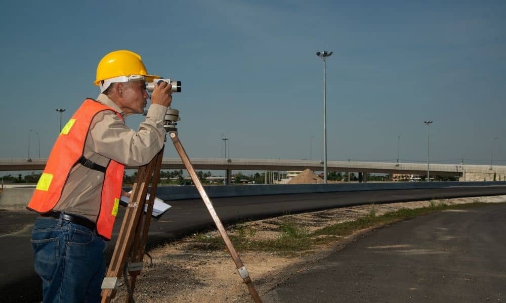
Surveyors are the first to step in. Before anyone can start construction, they measure and mark where the property really begins and ends. They locate easements, rights-of-way, and access points. They help the design team know exactly where things can and cannot be built.
In short, development doesn’t start with bulldozers — it starts with survey data.
What an ALTA Survey Does

An ALTA survey, short for American Land Title Association / NSPS Land Title Survey, is a detailed map of a property. It shows everything that could affect ownership or use of the land — boundaries, utilities, easements, roads, and improvements.
Surveyors use both field measurements and title documents to make sure what’s on paper matches what’s on the ground. Lenders and title companies depend on ALTA surveys to confirm that a property’s legal description is correct before a sale or loan closes.
In simple terms, an ALTA survey proves exactly what someone owns — and where someone else’s rights begin.
For major projects like Buc-ee’s or shopping centers along I-25, ALTA surveys often include extra “Table A” details. These can show zoning information, flood zones, and building dimensions. These details protect everyone involved by preventing surprises later — like discovering an underground utility or a drainage easement where you planned to build.
When Local Politics and Surveying Collide
The Buc-ee’s project shows how local government decisions depend on accurate surveys. Before a town can annex land, it has to know exactly where its borders are. That’s why surveyors are called in early to prepare annexation plats and legal descriptions that match the county’s records.
Because the site sits next to I-25, surveyors also work with the Colorado Department of Transportation (CDOT) to confirm right-of-way boundaries, access points, and stormwater drainage paths. Those drainage lines often connect to Fountain Creek, which means survey data must be detailed and precise.
So, while residents focus on public meetings and votes, surveyors are already in the field gathering the facts that make those votes possible.
Why Colorado Springs Developers Should Pay Attention
Even though the Buc-ee’s project is outside Colorado Springs, it could still affect future projects inside the city. The I-25 corridor connects both areas, and what happens in one town often influences what happens in the next.
If you’re developing property, you’ll almost always need a recent ALTA survey. Lenders, engineers, and city officials all rely on it before approving any project.
Without an updated survey, you risk delays, added costs, or even rejected permits. Think of a survey as your project’s foundation. You can’t design or build anything safely without first knowing the exact layout of the land.
Why Ordering an ALTA Survey Early Helps
Ordering an ALTA survey early saves time, money, and stress later. It helps catch potential problems like encroachments or outdated boundary lines before they cause bigger issues. It also builds confidence with lenders and lets engineers design with accurate data.
The I-25 corridor is growing fast, and land use can change quickly. Some areas get rezoned. Others gain new easements or road expansions. Having an updated survey means you’ll know exactly what’s on your property today — not years ago.
Developers in the area often compare their ALTA surveys with CDOT’s OTIS system (Online Transportation Information System). OTIS maps existing and future right-of-way lines and planned projects. Checking your survey against OTIS helps make sure your entrances, driveways, or utilities won’t conflict with future roadwork.
Simply put, early surveying keeps your project moving instead of waiting for corrections later.
The Ripple Effect Along the Front Range
Whether Buc-ee’s gets built or not, the story is already influencing how nearby communities approach new development. Towns and cities along the Front Range are watching closely.
Planners, lenders, and engineers are tightening their standards. They now expect ALTA surveys to include more detail — things like utilities, drainage paths, and flood-zone data. These requirements will likely spread across El Paso County and deeper into Colorado Springs.
For developers, that means one thing: accuracy matters more than ever. Even small errors can delay construction or financing. Having a thorough ALTA survey gives you an advantage when working with the city, the county, or CDOT.
Why Homeowners and Small Investors Should Care Too
You don’t need to be a large developer to need a good survey. If you’re buying, selling, or refinancing a property near the I-25 corridor, an ALTA survey can protect you from costly surprises.
Old plats and sketches often leave out easements or miss recent boundary adjustments. Those missing details can lead to problems during a loan or closing. An updated ALTA survey gives everyone the same clear map — you, your lender, and your buyer.
That means smoother closings, fewer disputes, and better planning if you ever decide to build or sell again.
Bringing It All Together
At first glance, the Palmer Lake Buc-ee’s debate looks like a local argument about a new gas station. But for people who work in construction, development, and real estate, it’s a lesson about preparation and precision.
Every new project — from a major store to a small subdivision — begins with understanding the land beneath it. And that understanding starts with an ALTA survey.
Surveyors aren’t just measuring land; they’re helping shape how communities grow. Their work guides engineers, protects property owners, and supports smart decisions about zoning and infrastructure.
So before you buy, build, or annex land along the I-25 corridor, make sure your ALTA surveys are current and accurate. They protect your investment, keep your project on schedule, and give everyone involved peace of mind.
Final Thought
Growth around Colorado Springs isn’t slowing down. New roads, businesses, and homes are changing the area every year. The Palmer Lake Buc-ee’s story is a reminder that every big idea starts with the same thing — solid, reliable survey data.
In the end, every successful project begins with a map that’s true. And every great map starts with a skilled surveyor.
Before you break ground, get your ALTA survey done right. It’s the quiet step that keeps everything else on solid ground.

